ImageBase
Early world maps (8 photos)
17th, 18th, and 19th century maps.
Unites States other than Virginia (121 photos)
Virginia Maps (378 photos)
Historic Virginia maps
South West Virginia
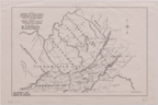
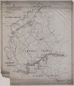
Map Showing the Early County Boundaries in the Territory West of the Blue Ridge and the Present Coun . . .
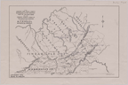
Map Showing the Early County Boundaries in the Territory West of the Blue Ridge and the Present Coun . . .
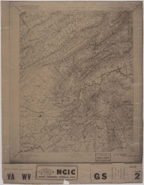
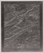
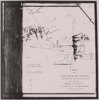
Reconnaissance Map, Christiansburg Sheet, Virginia-West Virginia. [Covers Montgomery, Floyd, and Cra . . .
New River Plateau Rwy Co.: Map showing proposed location from Ivanhoe Va. to North Carolina State Li . . .
Topographical Map Showing Possible Railway Routes to Great Ohio Coal Basin from Norfolk and Western . . .
Virginia-West Virginia, Dublin Sheet. U.S. Geological Survey
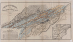
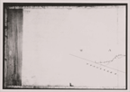
Southwest Virginia: Mineral Resources and Railway Facilities.
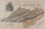
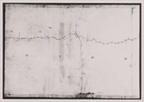
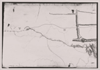
A Map of the Country between Lynchburg and New River, Shewing in Red Lines the Surveys made for a Co . . .
A Map of the Country between Lynchburg and New River, Shewing in Red Lines the Surveys made for a Co . . .
A Map of the Country between Lynchburg and New River, Shewing in Red Lines the Surveys made for a Co . . .
A Map of the Country between Lynchburg and New River, Shewing in Red Lines the Surveys made for a Co . . .
A Map of the Country between Lynchburg and New River, Shewing in Red Lines the Surveys made for a Co . . .
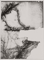
A Map of the Country between Lynchburg and New River, Shewing in Red Lines the Surveys made for a Co . . .
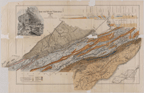
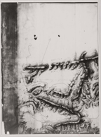
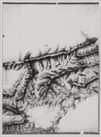
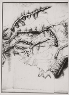
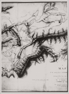
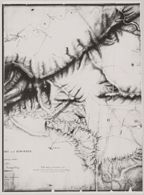
Map of the Summit Level of the Alleghany at the Heads of the Roanoke and New River.
Map of the Summit Level of the Alleghany at the Heads of the Roanoke and New River.
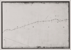
Map of the Summit Level of the Alleghany at the Heads of the Roanoke and New River.
Map of the Summit Level of the Alleghany at the Heads of the Roanoke and New River.
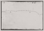
Map of the Summit Level of the Alleghany at the Heads of the Roanoke and New River.
Map of the Summit Level of the Alleghany at the Heads of the Roanoke and New River.
