ImageBase
Virginia Tech and surrounding Town of Blacksburg, Virginia (30 photos)
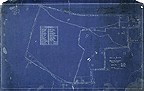
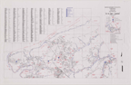
Map of west portion of Blacksburg, Virginia
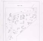
[Black Cemetery Map (Blacksburg, Virginia)].
[Black Cemetery Map (Blacksburg, Virginia)].
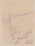
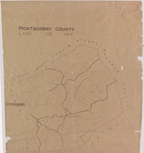
Montgomery County, Virginia Street Map, September 2000
Montgomery County, Virginia Street Map. Montgomery County Planning Department, 2000. 2 pieces, each . . .
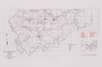
Montgomery County, Virginia Street Map. Montgomery County Planning Department, 2000. 2 pieces, each . . .
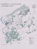
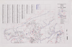
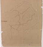
Environmental and Cultural Features of Montgomery County.
Environmental and Cultural Features of Montgomery County.
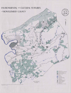
Environmental and Cultural Features of Montgomery County.
Environmental and Cultural Features of Montgomery County.
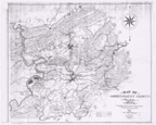
Map of Montgomery County, from Surveys and Reconnaissances by Liut. [Sic] C. S. Dwight. Confederate . . .
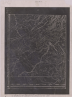
Map of Montgomery County, from Surveys and Reconnaissances by Liut. [Sic] C. S. Dwight. Confederate . . .
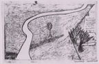
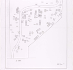
Colored Cemetery [Blacksburg, Virginia].
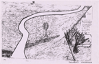
Colored Cemetery [Blacksburg, Virginia]. n.d. 11 x 17 in. 2 copies.
Watershed Envelope [Prices Fork Vicinity Plat Map].
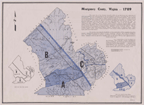
Montgomery County, Virginia, 1789.
Map of Montgomery County, from Surveys and Reconnaissances by Liut. [Sic] C. S. Dwight. Confederate . . .
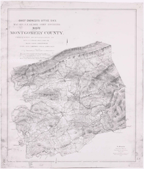
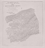
Map of Montgomery County Virginia. Mountains, Streams, Towns, Roads, Coal, Property Owners, etc, etc . . .
Montgomery County Land-Use Map
Map of the Blacksburg Railroad. Map of Montgomery County area. .
