ImageBase
Click on the image for full size view.
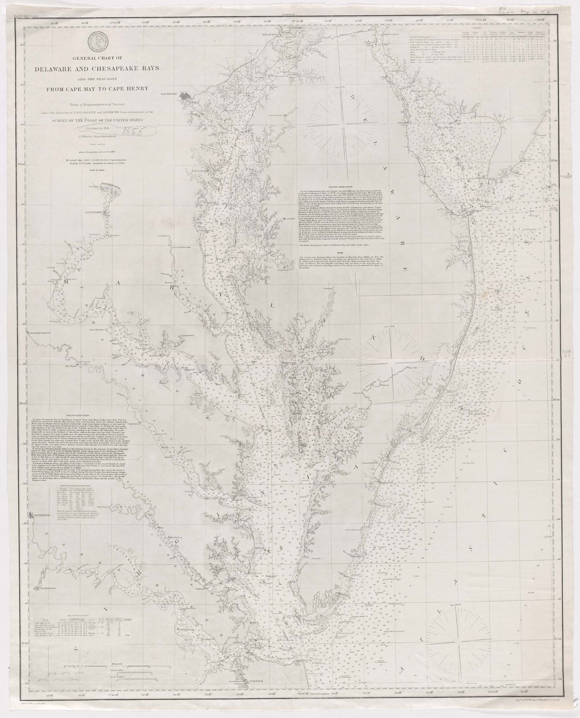
| URN | HM200611061334 |
|---|---|
| Work Type | map |
| Title | General Chart of Delaware and Chesapeake Bays and the Seacoast from Cape May to Cape Henry |
| Creator | A. D. Bache |
| Role | cartographer |
| Subject | Nineteenth Century - Maps |
| Work Date | 1855 |
| Measurements | 32 x 36 in |
| Repository | Special Collections (Virginia Polytechnic Institute and State University) |
| Repository Location | Blacksburg, Virginia |
| Current Site | FOLDER A-3 |
| Type | gif |
| Format | image/gif |
| Measurements | 32 x 36 in |
| Date | 1855 |
| Owner | Contact Special Collections. |
| Copyright | Contact Special Collections. |
| Subject | Nineteenth Century - Maps |
| Source | Special Collections, Historic Map Collection |
