ImageBase
Click on the image for full size view.
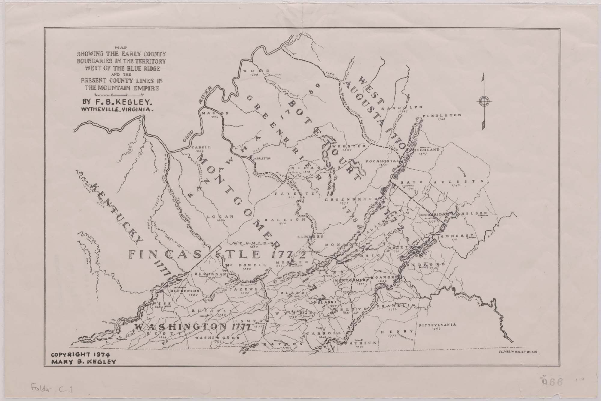
| URN | HM200705290919 |
|---|---|
| Work Type | Map |
| Title | Map Showing the Early County Boundaries in the Territory West of the Blue Ridge and the Present County Lines in the Mountain Empire. , .. 2 copies |
| Creator | F.B. Kegley |
| Subject | Virginia - Counties - Maps |
| Work Date | 1974 |
| Measurements | 12 x 18 in |
| Repository | Special Collections (Virginia Polytechnic Institute and State University) |
| Repository Location | Blacksburg, Virginia |
| Current Site | FOLDER C-1 |
| Type | gif |
| Format | image/gif |
| Measurements | 12 x 18 in |
| Date | 1974 |
| Owner | Contact Special Collections. |
| Copyright | Contact Special Collections. |
| Subject | Virginia - Counties - Maps |
| Source | Special Collections, Historical Map Collection |
