ImageBase
Click on the image for full size view.
| URN | HM200705291352 |
|---|---|
| Work Type | Map reproduction |
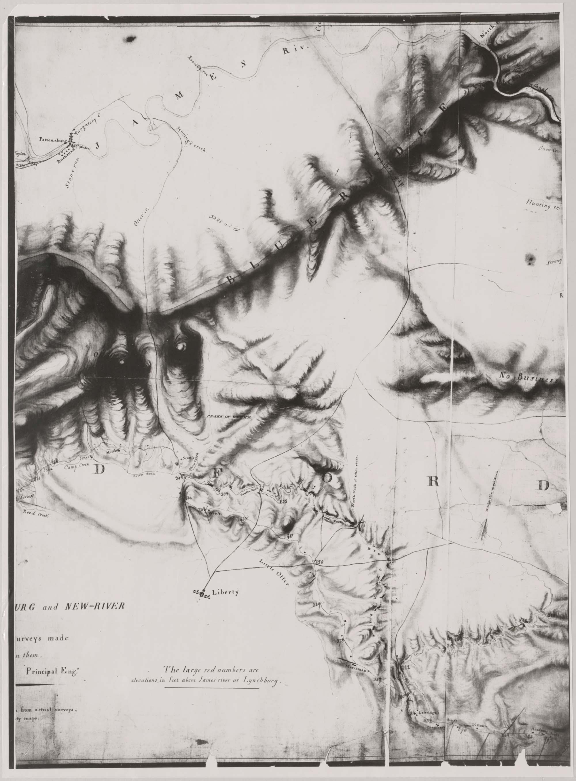
| Title | A Map of the Country between Lynchburg and New River, Shewing in Red Lines the Surveys made for a Connexion between Them. |
| Creator | Claudius Crozet |
| Subject | Virginia - Counties - Maps |
| Work Date | 1831 |
| Measurements | 1 map on 6 sheets; each 18 x 24 in. |
| Repository | Special Collections (Virginia Polytechnic Institute and State University) |
| Repository Location | Blacksburg, Virginia |
| Current Site | FOLDER C-1 |
| Type | gif |
| Format | image/gif |
| Measurements | 1 map on 6 sheets; each 18 x 24 in. |
| Date | 1831 |
| Owner | Contact Special Collections. |
| Copyright | Contact Special Collections. |
| Subject | Virginia - Counties - Maps |
| Source | Special Collections, Historical Map Collection |
