ImageBase
Click on the image for full size view.
| URN | HM200705291510 |
|---|---|
| Work Type | Map reproduction |
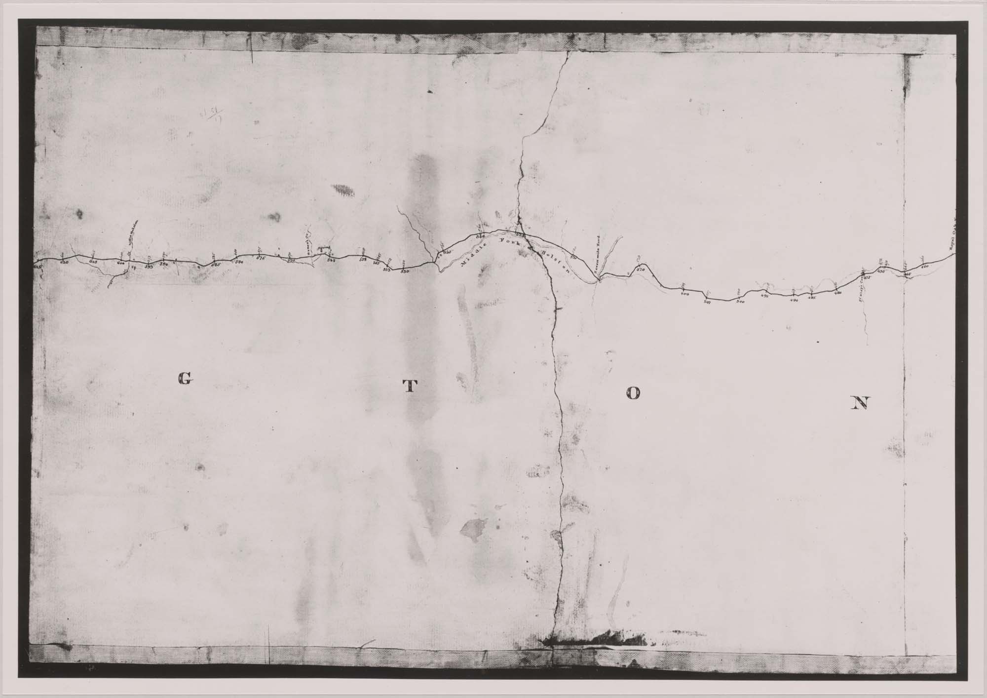
| Title | Map of the Summit Level of the Alleghany at the Heads of the Roanoke and New River. |
| Creator | Claudius Crozet |
| Subject | Virginia - Counties - Maps |
| Work Date | 1827 |
| Measurements | 1 map on 7 sheets (6 sheets 15 x 21 in.; 1 sheet 15 x 15 in.). |
| Repository | Special Collections (Virginia Polytechnic Institute and State University) |
| Repository Location | Blacksburg, Virginia |
| Current Site | FOLDER C-1 |
| Type | gif |
| Format | image/gif |
| Measurements | 1 map on 7 sheets (6 sheets 15 x 21 in.; 1 sheet 15 x 15 in.). |
| Date | 1827 |
| Owner | Contact Special Collections. |
| Copyright | Contact Special Collections. |
| Subject | Virginia - Counties - Maps |
| Source | Special Collections, Historical Map Collection |
