ImageBase
Click on the image for full size view.
| URN | HM200611031120 |
|---|---|
| Work Type | Map reproduction |
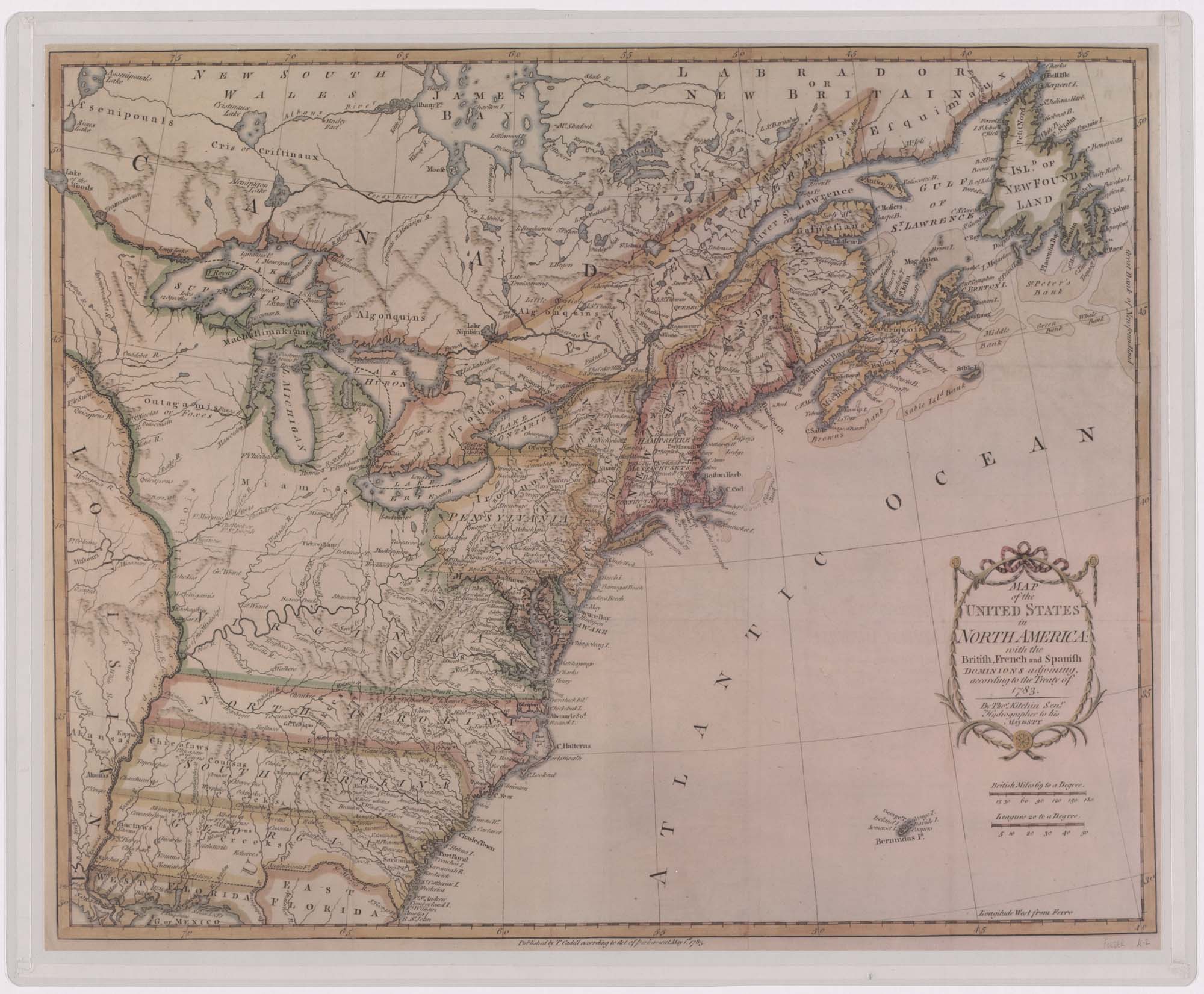
| Title | Map of the United States in North America: with the British, French, and Spanish Dominions Adjoining, According to the Treaty of 1783. |
| Subject | Eighteenth Century - Maps |
| Work Date | 1783 |
| Measurements | 17 x 20 in. |
| Repository | Special Collections (Virginia Polytechnic Institute and State University) |
| Repository Location | Blacksburg, Virginia |
| Current Site | FOLDER A-2 |
| Type | gif |
| Format | image/gif |
| Measurements | 17 x 20 in. |
| Date | 1783 |
| Owner | Contact Special Collections. |
| Copyright | Contact Special Collections. |
| Subject | Eighteenth Century - Maps |
| Source | Special Collections, Historic Map Collection |
