ImageBase
Click on the image for full size view.
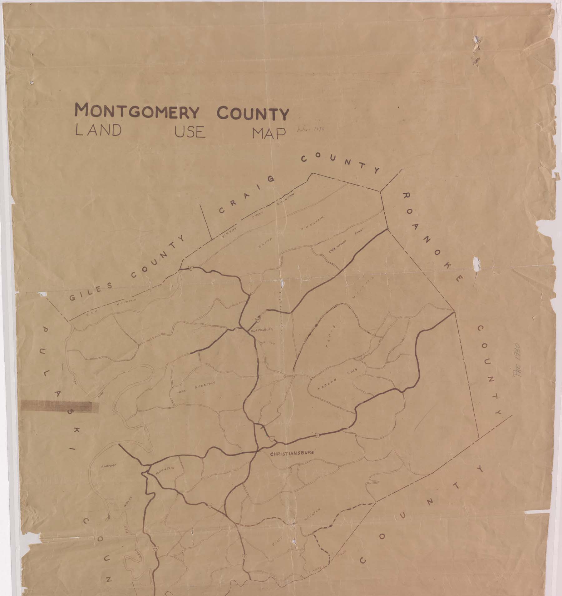
| URN | HM200706221430 |
|---|---|
| Work Type | Map |
| Title | Montgomery County Land-Use Map |
| Creator | Drawn by Harry A. Wall |
| Subject | Virginia - Montgomery County - Maps |
| Work Date | 1890-1925 |
| Repository | Special Collections (Virginia Polytechnic Institute and State University) |
| Repository Location | Blacksburg, Virginia |
| Current Site | FOLDER D-1 |
| Type | gif |
| Format | image/gif |
| Date | Pre-1930 |
| Owner | Contact Special Collections. |
| Copyright | Contact Special Collections. |
| Subject | Virginia - Montgomery County - Maps |
| Source | Special Collections, Historical Map Collection |
