ImageBase
Click on the image for full size view.
| URN | HM200611031340 |
|---|---|
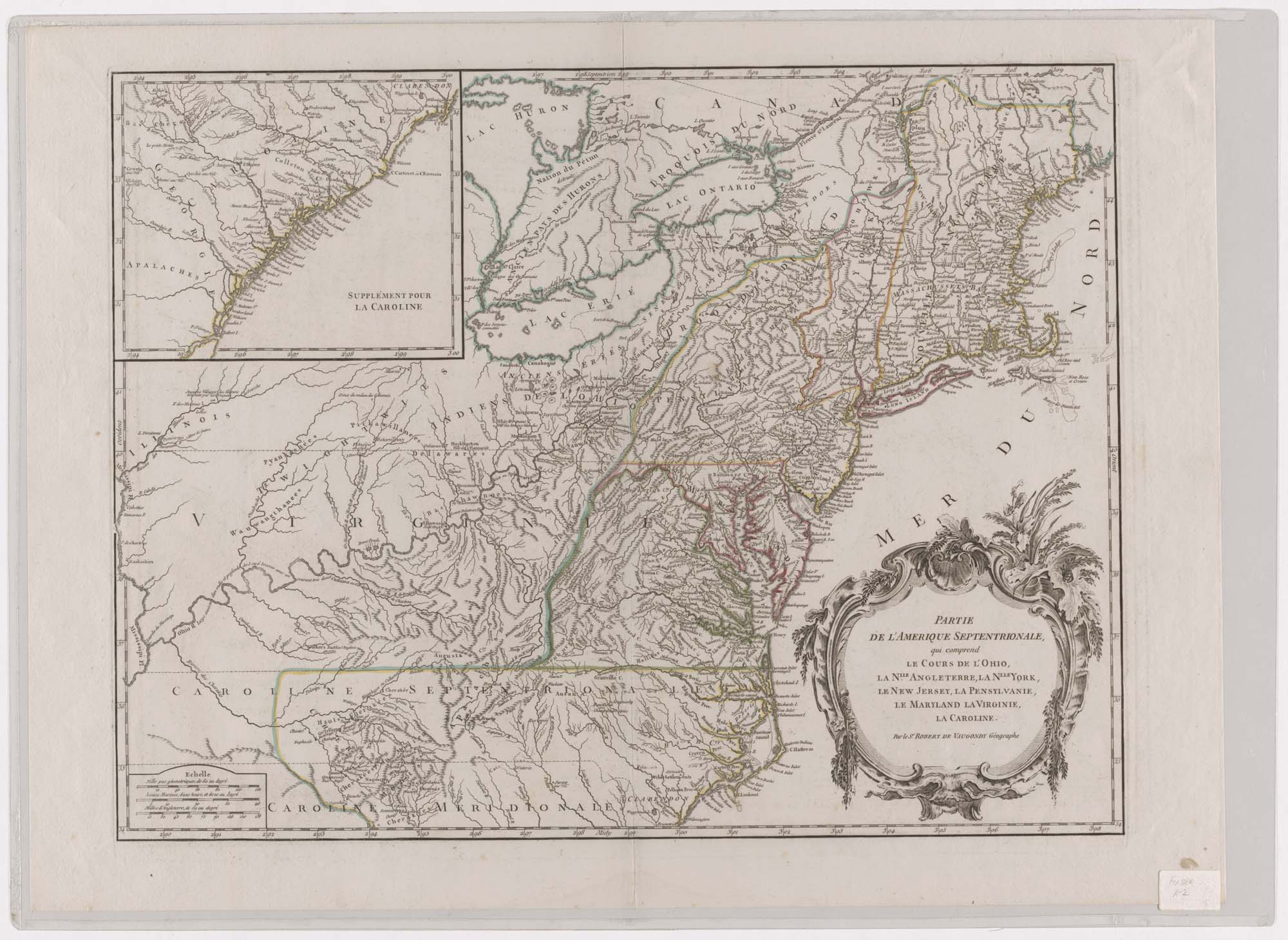
| Work Type | Map |
| Title | Parte de L'amerique Septentrionale, Qui Comprend Le Cours De L'ohio, La Nouvelle Angleterre, La Nouvelle York, Le New Jersey, La Pensylvanie, Le Maryland, La Virginie, La Caroline |
| Subject | Eighteenth Century - Maps |
| Work Date | ca. 1750 |
| Measurements | 22 x 29 in. |
| Repository | Special Collections (Virginia Polytechnic Institute and State University) |
| Repository Location | Blacksburg, Virginia |
| Current Site | FOLDER A-2 |
| Type | gif |
| Format | image/gif |
| Measurements | 22 x 29 in. |
| Date | ca. 1750 |
| Owner | Contact Special Collections. |
| Copyright | Contact Special Collections. |
| Subject | Eighteenth Century - Maps |
| Source | Special Collections, Historic Map Collection |
